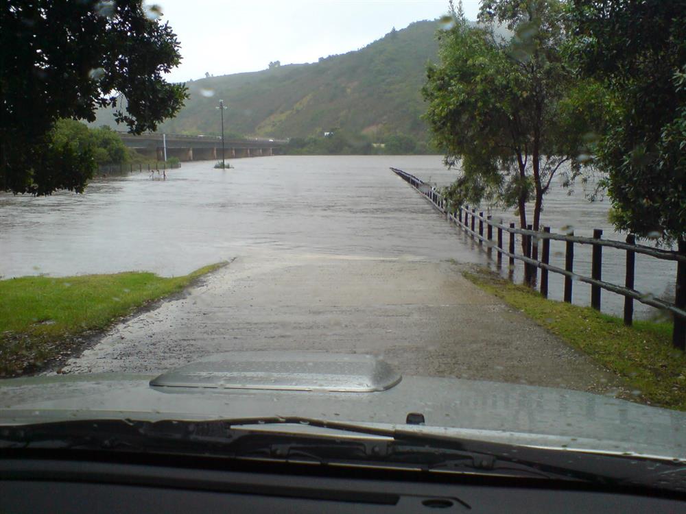
GEORGE NEWS - The Garden Route is no stranger to floods and it's possible that more heavy rain is headed our way.
A chief forecaster at the South African Weather Service, Kevin Rae, says a cut-off low is expected on Friday, west of the Western Cape over the ocean, and as the system comes over land, more updates will be given.
South African Weather Service (SAWS) communications manager Hannelee Doubell told George Herald that an update will be issued today, Thursday 25 November, as the weather prediction will be more accurate closer to the actual weather event.
At this stage SAWS predicts a 60% chance of rain and thunderstorms for George on Friday and Saturday, but at the time of going to press on Wednesday, Doubell said it was too early to give an accurate prediction about the severity of the expected rain.
"Please be on the lookout for our media updates per media release, our website as well as social media, Twitter and Facebook."
www.georgeherald.com will also post the updates as they are received.
Monday night's extreme rainfall came 14 years to the day after heavy rain struck the Garden Route in 2007 leading to heavy flooding and damage to infrastructure.
The destruction of the Kaaimans railway line in the 2006 floods effectively put an end to the iconic Outeniqua Choo-Tjoe.
'We bring you the latest George, Garden Route news'