

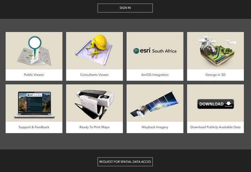
GEORGE NEWS - The George Municipality's Geographic Information System (GIS) department is excited at being able to introduce the GIS public viewer, a user-friendly online mapping tool designed to provide the residents of George and property professionals with easy access to spatial data that relate to the development of land, land transactions and investment planning.
This mapping portal provides a gateway to intelligent maps, focused applications and other geoinformation for the City of George.
“Answering the ‘where’ question for any project, initiative or important decision is now easy for everyone,” says municipal communications head Chantèl Edwards.
“The GIS viewer provides a wide variety of functionalities, including explore and query functions, cadastre database searches, draw and measurement tools, as well as GIS data import functions,” says Edwards.
Historical aerial imagery
The viewer also includes historical aerial imagery dated back as far as 1957, enabling a simple investigation into possible heritage assets and relevance on the site. Comparisons between the imagery provide evidence relating to building activity, the timeline of development and the prevalence of biodiversity and related degradation, where applicable.
The swipe widget can be used to compare historical imagery to the latest imagery by clicking on the layer and dragging the swipe bar across the screen.
Elevation profile
The elevation profile shows a land surface along a chosen path. It is a graph with a distance on one axis and height (or elevation) on the other.
This profile enables a desktop investigation of the characteristics of the terrain, slopes, and overall shape of an area.
Elevation profiles can be used to assess factors like steepness, drainage issues, and suitability for construction, but also, among other uses, allude to potential risks, such as flooding, erosion or landslides.
Layers
The GIS viewer has various spatial layers, each containing valuable information stored in the attribute table. The property layer displays erf boundaries, erf size and erf number, while the zoning layer contains details on zoning parameters which includes the primary use and consent uses that may be applied for.
The latest land use approvals are updated regularly for ease of reference have been granted.
The valuation layer displays information from the 2023 valuation roll, indicating the municipality's assessed value of your property and is frequently updated.
These layers collectively cover property information, property valuation and erf size, links to Surveyor-General (SG) diagrams, Integrating Zoning Scheme, administrative boundaries, information related to community services, Municipal Spatial Development Framework 2023 and related maps.
Environmental layer
Additionally, the environment layer adds valuable spatial information that depicts data on rivers, slopes, natural protected areas, environmental buffer zones, OSCA applications, biodiversity areas, and more.
The environmental data enable property owners, property professionals or potential buyers to view the environmental constraints on the property and determine what level of protection or environmental custodianship is required in pursuit of their legislated ‘Duty of Care’.
User guide
To assist users, the GIS public viewer includes a step-by-step instruction for utilising all available tools. The GIS mapping portal gives access to ready-to-print maps which are printable in PDF format.
For inquiries and further information, contact the GIS department:
- Email: gisadmin@george.gov.za
- Office: 044 801 9117
- Link to public Viewer: GIS Public Viewer: George Municipality Mapping Portal
- Mapping portal: GIS mapping portal
‘We bring you the latest Garden Route, Hessequa, Karoo news’


