

Advertorial Video
GEORGE BUSINESS NEWS & VIDEO'S - The specifics regarding aerial drone imaging:
QUALIFICATIONS
The South African Civil Aviation Authority (SACAA) views any flying drone as an aircraft which must abide by the same law as manned aircraft. Commercial drone operators must go through certification and exams.
The first step would be getting your Remote Pilot's License (RPL), second would be your Air Service License (ASL) from the Department of Transport and then the Remote Operator's Certificate (ROC) from the SACAA. Only once you have these certificates and suitable insurance may you operate commercially.
ADVANTAGES OF PHOTOGRAMMETRIC SURVEYS
- Aerial imagery provides a permanent record of the conditions as they existed at the time the photograph was taken.
- Photos can be used to convey information to the general public or state or municipal agencies.
- Small-scale images and/or mosaics can provide a broad overview of a project, identifying both topographic and cultural features.
- Terrain data and mapping features can be extracted from stereo image models with little effort and at a low cost.
- Mapping and digital terrain modelling and contours of large areas can be accomplished quicker and at a lower cost when compared to ground survey methods.
- Photogrammetry can be used in locations that are difficult or impossible to access from the ground.
- An experienced survey crew can quickly target and control a proposed project scheduled for photogrammetric mapping.
Watch 2 video's below:
HOBBY/TOY FLIGHTS
Restrictions
- No flying within 10km of an airport, airstrip or helipad
- Only in daylight and clear weather
- Maximum drone weight of 7kg
- Operation must be within 500m from pilot
- Operation may not be within 50m of a person, a building or a public road (50m lateral no-fly zone)
- The drone must remain below the height of the highest object within 300m of the drone, while maintaining visual sight as well as separation and avoidance responsibilities

This image clearly shows the restrictions imposed on drone toy flights and hobbyists.
Dangers
- Injury to public and property
- Possible "fly-away" could impact air traffic in the vicinity
- Collision with air traffic, especially emergency services operating at low level
- Falling foul of privacy and other laws
- Costly liability claims
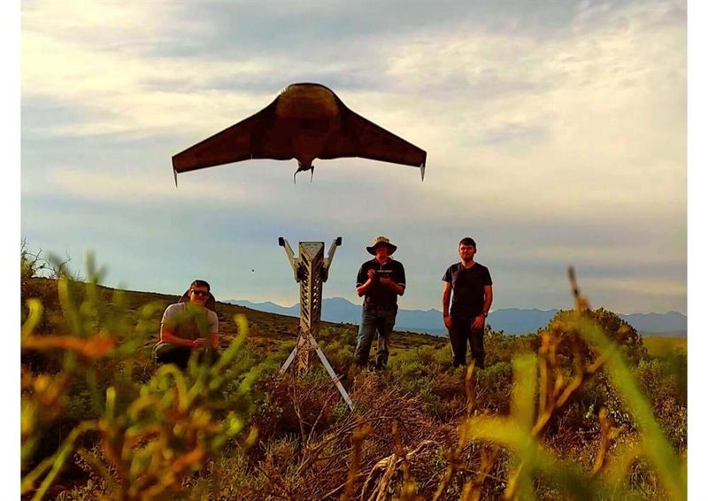
Drone mounted on launching pad.
Acceptable private uses
- For individual personal and private purposes where there is no commercial outcome, interest or gain
- Pilot must observe all statutory requirements relating to liability, privacy and any other laws enforceable by other authorities
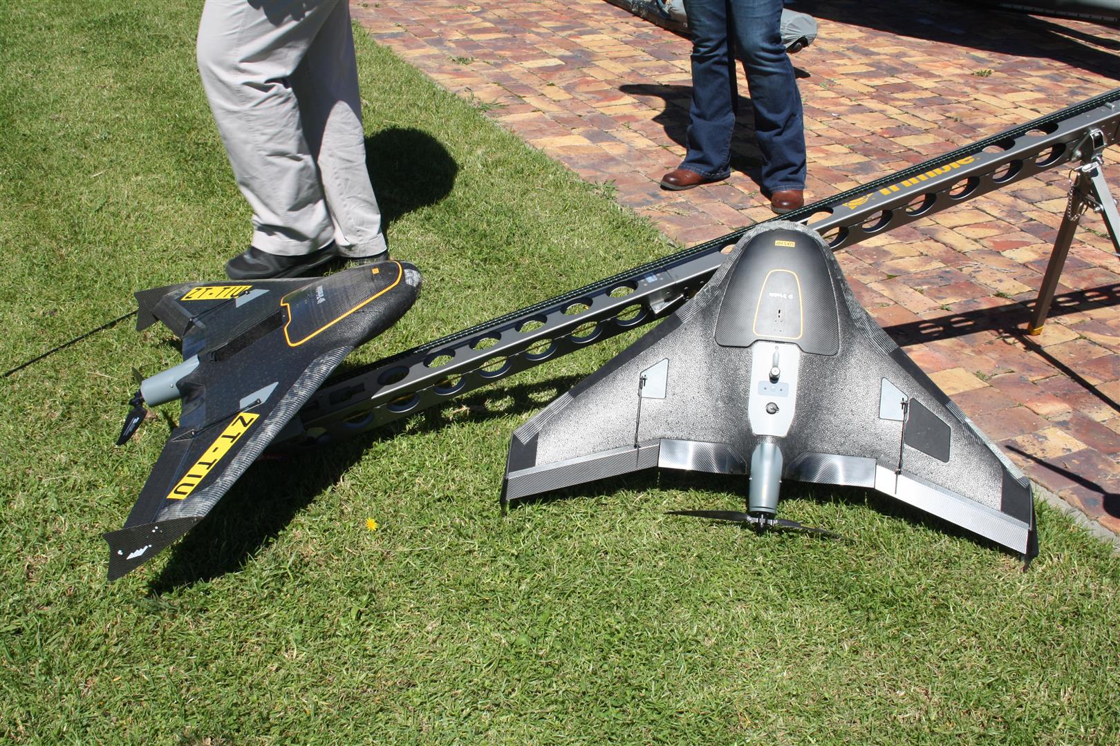
A drone before it becomes airborne.
Read a related article: Aerial drone imaging takes off
'We bring you the latest George, Garden Route news'


