

Breaking News
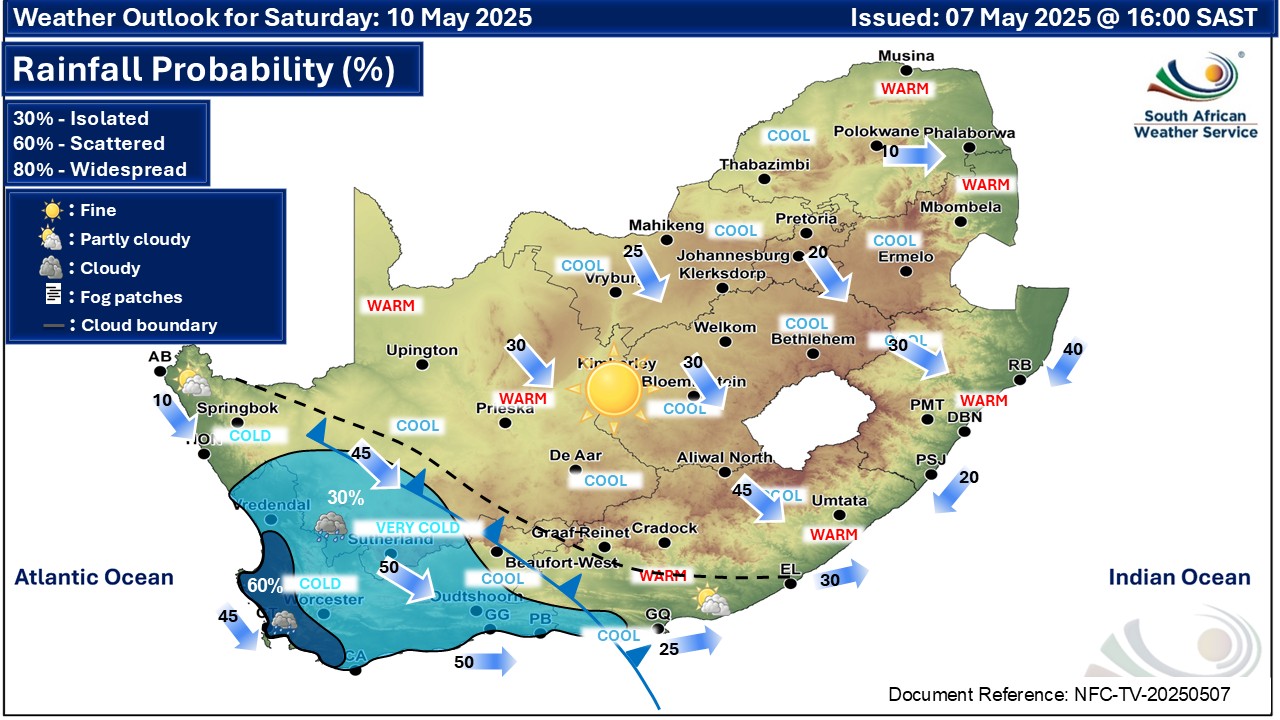
GARDEN ROUTE NEWS - In the latest weather update from the South African Weather Service, a warning has been issued for Level 4 for damaging waves for this coming Saturday, 10 May.
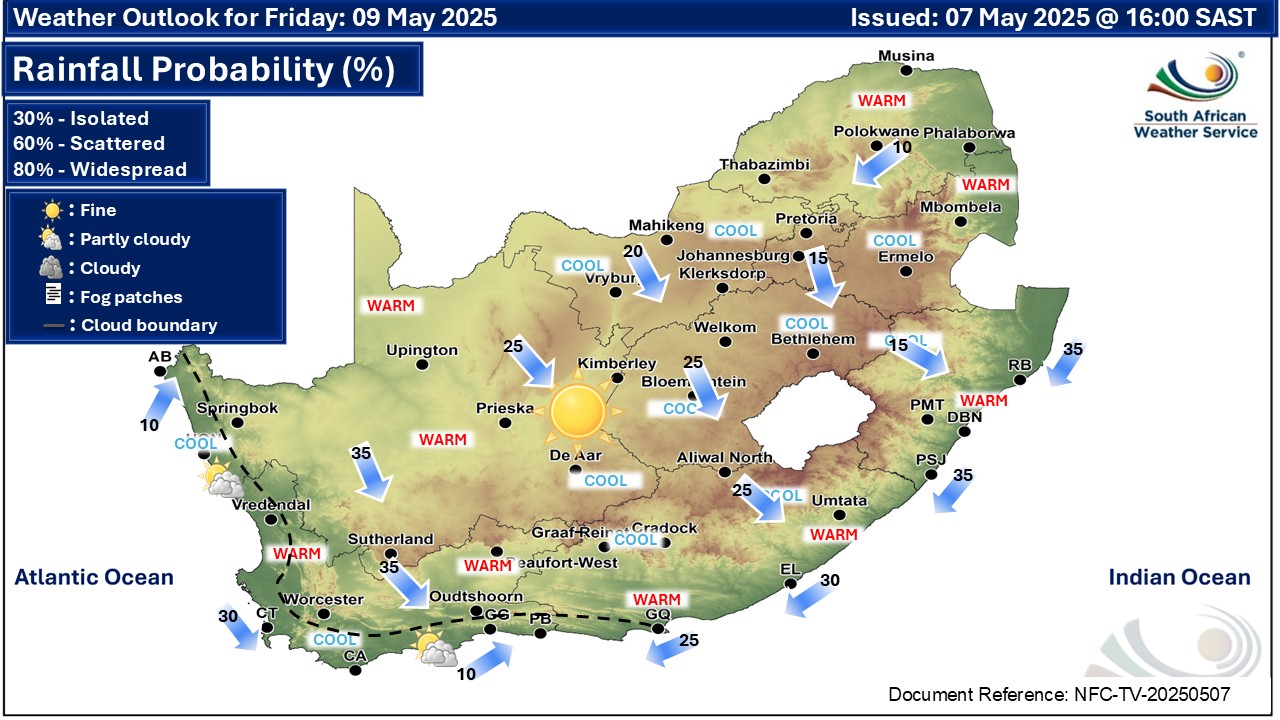
A cold front is expected to reach the south-western parts of the Western Cape on Saturday morning.
The high pressure system south-west of the country behind the cold front is expected to result in heightened waves with heights of 4-6 metres between Cape Columbine and Plettenberg Bay on Saturday into Sunday morning.
Strong to gale force west to north-westerly winds are expected to accompany these waves which result in very rough and choppy seas.
Be aware of large unpredictable waves along the coast. Small vessels are advised to seek shelter in harbours, bays or inlets. Be aware of strong rip currents especially during spring tides.
Report weather related incidents to the GRDM Emergency Call Centre at 044 805 5071 or send a WhatsApp message to 081 709 5193.
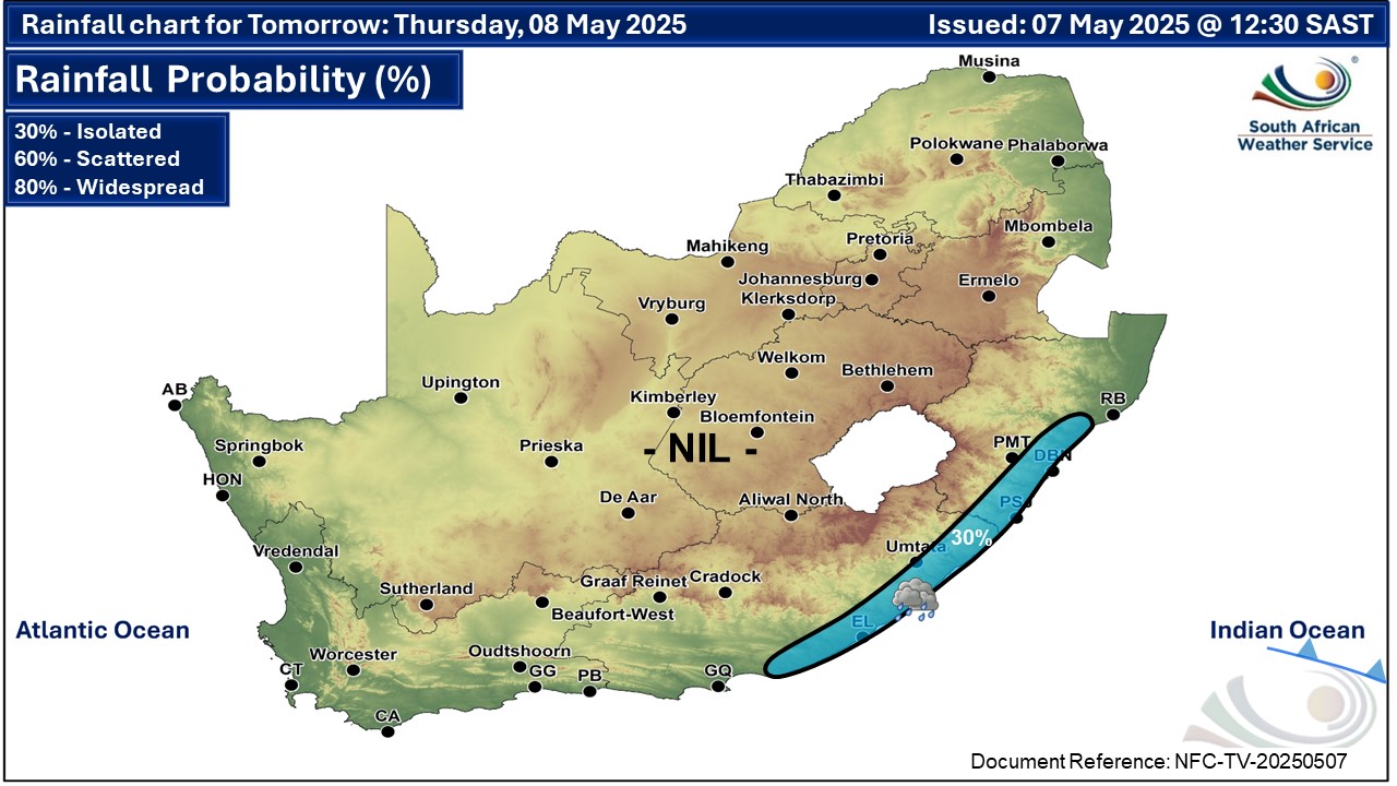
Forecast for Thursday
No precipitation today, but Isolated rain & showers are expected along the east coast of the country tomorrow, 8 May.
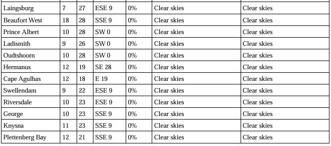
Expected temperatures on Thursday:
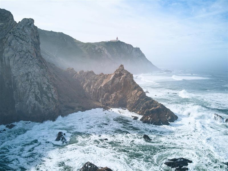
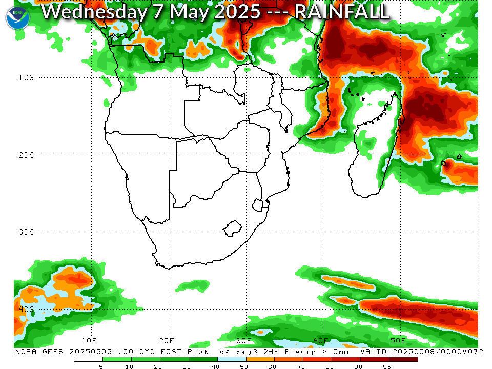 The cold front can be seen approaching the south coast. Image: SAWS
‘We bring you the latest Garden Route, Hessequa, Karoo news’


