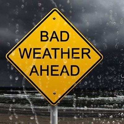
GARDEN ROUTE | KAROO NEWS - The South African Weather Service issued an orange Level 6 warning in anticipation of severe thunderstorms that could result in "heavy downpours, strong damaging winds and flash flooding" on Sunday 5 March.
Affected areas are: Bitou, Cape Agulhas, George, Hessequa, Kannaland, Knysna, Mossel Bay, Oudtshoorn, Overstrand, Swellendam and Theewaterskloof.
"Heavy downpours with rainfall accumulation of 70-100mm, strong and gusty winds (50-60km/h, gusting 70-80km/h), excessive lightning and large amount of small hail (1-2cm in diameter) can be expected," the warning reads.
This weather could have the following impacts:
- Flash flooding of roads and susceptible settlements as well as danger to life in crossing of fast-flowing streams
- Large amounts of small hail/large hail can cause damage to vehicles and difficult driving conditions, especially where heavy downpours are present
- These conditions can lead to major travel disruptions and can be aggravated by possible falling trees blocking major roads
- Loss of agricultural crops is also likely together with disruption to essential services.
The SAWS instructs the public to stay indoors and away from metal objects. "Do not seek shelter under trees or tall objects. Do not go fishing or play golf, as both the golf clubs and fishing rods are a good conductor of electricity. Be aware that any combination of hail, strong winds and/or heavy downpours can accompany the storms," says the warning.
Die Suid-Afrikaanse Weerburo het 'n vlak 6 waarskuwing uitgereik vir Saterdag, 4 Maart en Sondag, 5 Maart. Die oranje vlak 6 waarskuwing voorspel erge donderweer, sterk winde, swaar reën wat tot vinnige vloede kan lei en ligte hael. Die waarskuwing is vir die Overberg en Tuinroete distrikte uitgereik en kan tot die beskadiging van infrastruktuur lei. Die areas wat beïnvloed word, is Bitou, Kaap Agulhas, George, Hessequa, Kannaland, Knysna, Mosselbaai, Oudtshoorn, Overstrand, Swellendam en Theewaterskloof.
Die swaar donderstorms word vir Sondag voorspel en is die gevolg van 'n laedrukstelsel wat afgesny is (cut off low pressure system). Swaar reënval van
70mm tot 100mm word verwag, met sterk winde van 50 tot 60 km/h wat vinnig kan versnel na 70 tot 80 km/h. Uitermatige weerlig en groot hoeveelhede klein haelkorrels word ook in die gebiede verwag.
Die swaar neerslae en sterk winde kan moeilike bestuurstoestande tot gevolg hê en tot die versperring van paaie lei, weens ontwortelde bome. Die publiek word gevra om liefs binnenshuis te bly, maar nie naby metaalvoorwerpe te kom nie. Daar word ook gewaarsku dat mense nie onder bome of hoë strukture moet skuiling soek nie. Sportliefhebbers moet ook nie gaan visvang of gholf speel nie, omdat beide stokke geleiers van elektrisiteit is, wat uiters gevaarlik is as daar weerlig in die lug is.
Die Weerburo waarsku dat enige kombinasie van hael, sterk winde en swaar reën tydens die donderstorms kan voorkom.
'We bring you the latest Garden Route news'